Project Description

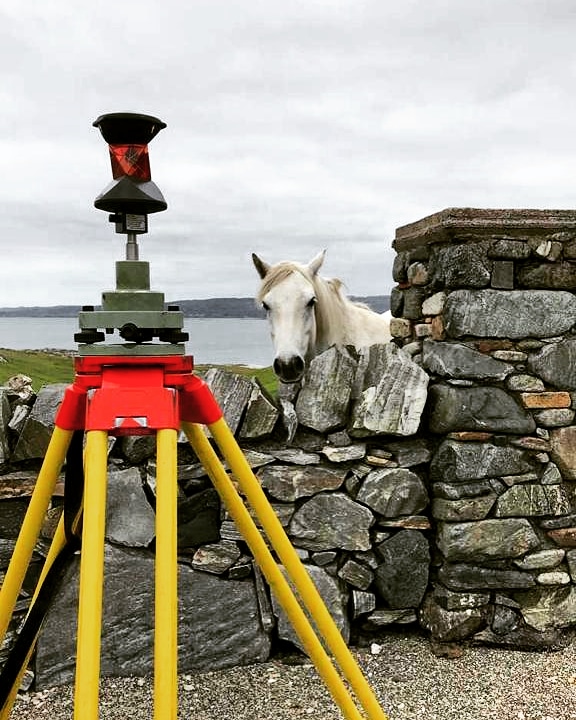
From Cork to Donegal and from Galway to Dublin Control Surveys have carried out multiple boundary surveys and associated mapping for a host of Land Registry issues for the OPW – the government agency responsible for much of the State’s property portfolio.
Primarily we have been tasked with preparing first registration mapping of properties for sale which involves the accurate surveying of the existing on site boundary followed by a full review of all title and historical mapping.
Inevitably issues arise due to the quality and age of the mapping when compared with the latest digital Ordnance Surveying map and the on site boundary surveys. We work closely with the OPW and the Chief States Solicitors Office to resolve these issues before preparing the final up to date map of the property in an acceptable format for the Property Registraton Authority.
In addition to the above we have carried out surveys and prepared mapping for the OPW for property subdivision, compulsory registration, boundary encroachment, boundary setout, area calculation, right of ways, multi story registration and declaration of identities.
